(5,539 m, 240+ 135-)
Start from the square of the Paranesti railway station. The beginning of the race route is common to that of the VFUT and NTR races.
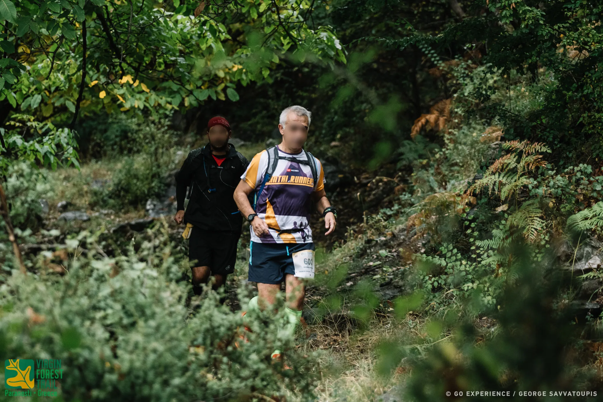
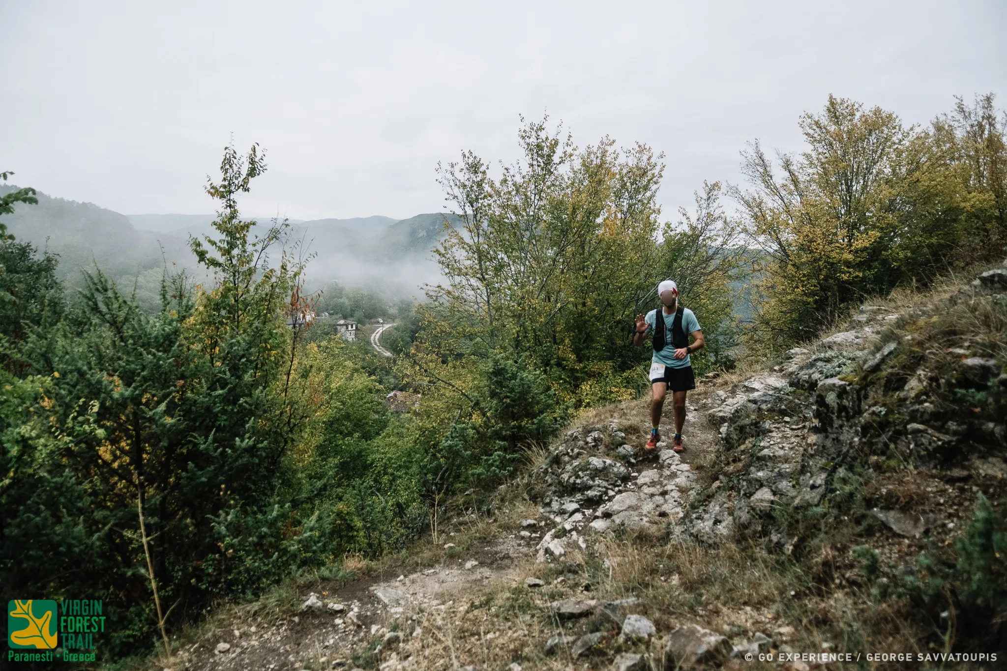
It crosses Paranesti and, passing the first 700 asphalt meters, it reaches the Nessos hotel. It follows the dirt road that climbs smoothly and at 1900 m it turns left, following an old forest uphill road, which leads to a hill where a relay antenna is located. It turns left again and enters a downhill path that follows the edge of the ridge. To the right is the village of Tholos with its picturesque two-story half-demolished houses.
Going up and down with very small elevation changes, you will meet the public road to Prasinada. It crosses the public road perpendicularly, passing on the opposite side. At 20 meters it turns left and will descend a few meters below to meet the riverside path of the race's return. Turn right and in a few meters (312 m) following the riverside path we reach the facilities of the old construction site of Porcel, an old remnant of mining activity in the area.
(7,369 m, 625+ 330-)
From Porcel the route continues straight, passes through the deserted facilities of the construction site and exits on the public road to Prasinada. Turn left following the road for 205 m. To the right of the public road there is a forest path. At this point, the route turns right and follows the uphill path for 1633 m.. The route climbs steeply at the beginning and reaching the top of the ridge enters a beautiful oak and beech forest. It then descends to meet the bed of the Cold Stream through a very nice route. He crosses the stream, turns left and climbs for 225 m. At this point he will meet the well-marked old path that smoothly ascends to Vunoplagia.
Turn right and follow the path. It will pass through the ruins of an old settlement and come out neck high through beech and oak forest. The descent begins. It follows the downhill path straight on for 400 m and meets the dirt road that descends towards Vounoplaya.
It turns left and follows the downhill dirt road for 40 m. At d40 on the left turn of the dirt road. the race route will turn right on the path that descends towards the deserted village of Vounoplaya for 440 m. It reaches the renovated church of the village where the second Supply Station of Vounoplaya.
(6186m. 465m:- 215-)
From the renovated church of Vounoplagia. The route continues for 1220m. the old path that descends to the bed of Arkudorematos.
On reaching the riverbed, turn left and in about 200 meters you will meet the footbridge of Arkudorematos, from this point the ascent to Sili begins. The route crosses the pedestrian bridge and turning right again meets the asphalt road to Prasinada. He follows him for 430m. turning left on a concrete road that leads to the Hatzantoni farm. It passes through the estate. enters a path and in 400 m. meets a stream.
He passes it by turning right and goes uphill winding through a beech and wild hazel forest until he reaches the village of Sili. where the third Supply Station.
(9,499 m, 440+,395-)
From the Sili Fuel Station, the route follows the concrete road for 126 m and at the watering hole it meets, turns right and enters an uphill path. On the hill at 871 m it meets the ruins of an old settlement, which it crosses. Descending at 1670 m near a watering point, it meets an old military road. It turns left and follows it gently uphill through a picturesque beech forest for 1646 m.
At this point you will meet another forest road coming from Prasinada. The route turns left and follows the forest road for 477 m to the farm where the dirt road stops. The route now turns right. it passes under the farm, joins an old forest road and follows the old logging path downhill. At the end of the downhill path, it crosses a small stream and meets the dirt road that leads left to Oxia. ATTENTION: It is the dividing point of the common route of the VFUT, NTR and P.R races. The route of the VFUT and NTR races turns right while the P.R route turns left.
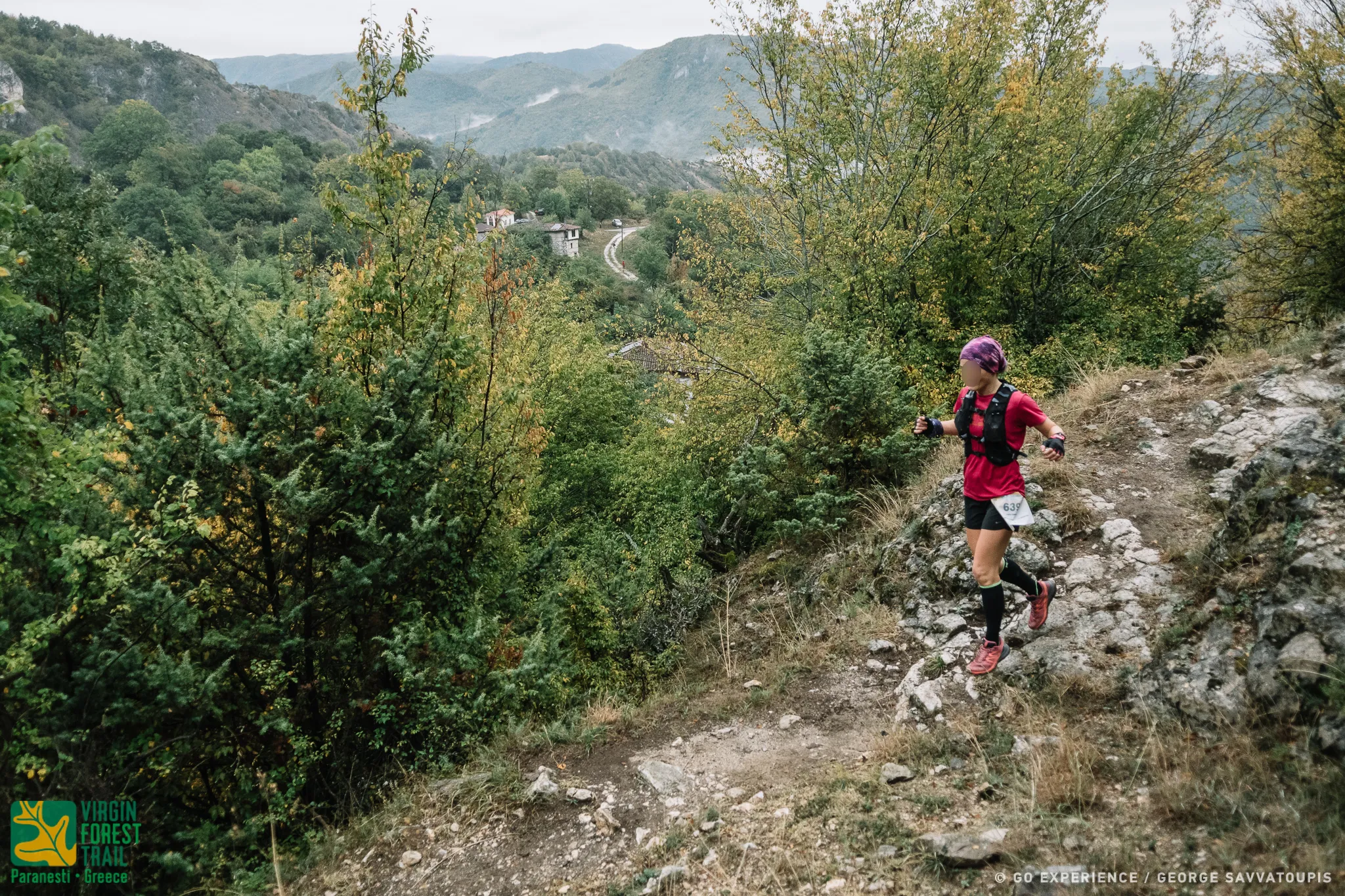
Turn left. follow the dirt road to Oxia, at 1060 m leave the dirt road and turn left. crosses the stream again entering a beautiful path. It follows for 2,125 m. It ascends for a while in a beech forest and descends again to meet in a beautiful clearing the return path of the VFUT and NTR races coming from Oxia. Turn left and follow the same route as the NTR on a beautiful path in a beech forest that alternates with wild apple trees, hornbeam trees, cherry trees, skulls and after 2,000 meters you reach the pastures (parkharia) of Sili (altitude 95 meters). On the right, the characteristic "nose" (cut) of Sili, which can be seen from a long distance. A few meters further down it meets a characteristic tomb, the point from where the well-preserved downhill path to the village of Sili, 1,445 meters long, begins. In a little while he reaches the church of Sili, where the fourth Refueling Station of Sili is located at an altitude of 765 meters.
(9,751 m, 80+, 585-)
From the Sili Refueling Station, the race route follows exactly the same course. with that of the climb in Sili from Vunuplagia to the Arkudorematos pedestrian bridge, going downhill returning to Paranesti. As soon as he crosses the Arkoudorematos pedestrian bridge, he turns right and follows the old scenic path and the old route of the organization until the exit of the path at the military bridge of Arkonidorematos on the asphalt of the public road Paranesti - Parasinada. It continues straight. it follows the public road to Paranesti, passes in front of the abandoned military outpost and at 4d5m turns right to follow a dirt road downhill for a few meters and then to enter the riverside path of Arkudorematos with a special aesthetic.
It follows the riverside path with a little care in some passages and in 1367 m it reaches Porcel.
(7.923 µ 80+ 120-)
From Porcel the route continues along the rivers and at 1450 m it comes out on a downhill dirt road that leads to the village of Xagnados. which he follows for about 2 kilometers. At this point it rejoins the path, leaving Xagnanto on the left. The route goes next to the river Nestos for 2203 m and is magnificent. At this point the route turns left, leaves Nestos behind and climbs for 64 m (last uphill), passes a viewing kiosk and exits on the public road Xagnantos - Paranestiou. Turn right, follow the public downhill road to Paranesti and in 1330 m it ends at the same point where it started. in the square of the Paranesti Railway Station.