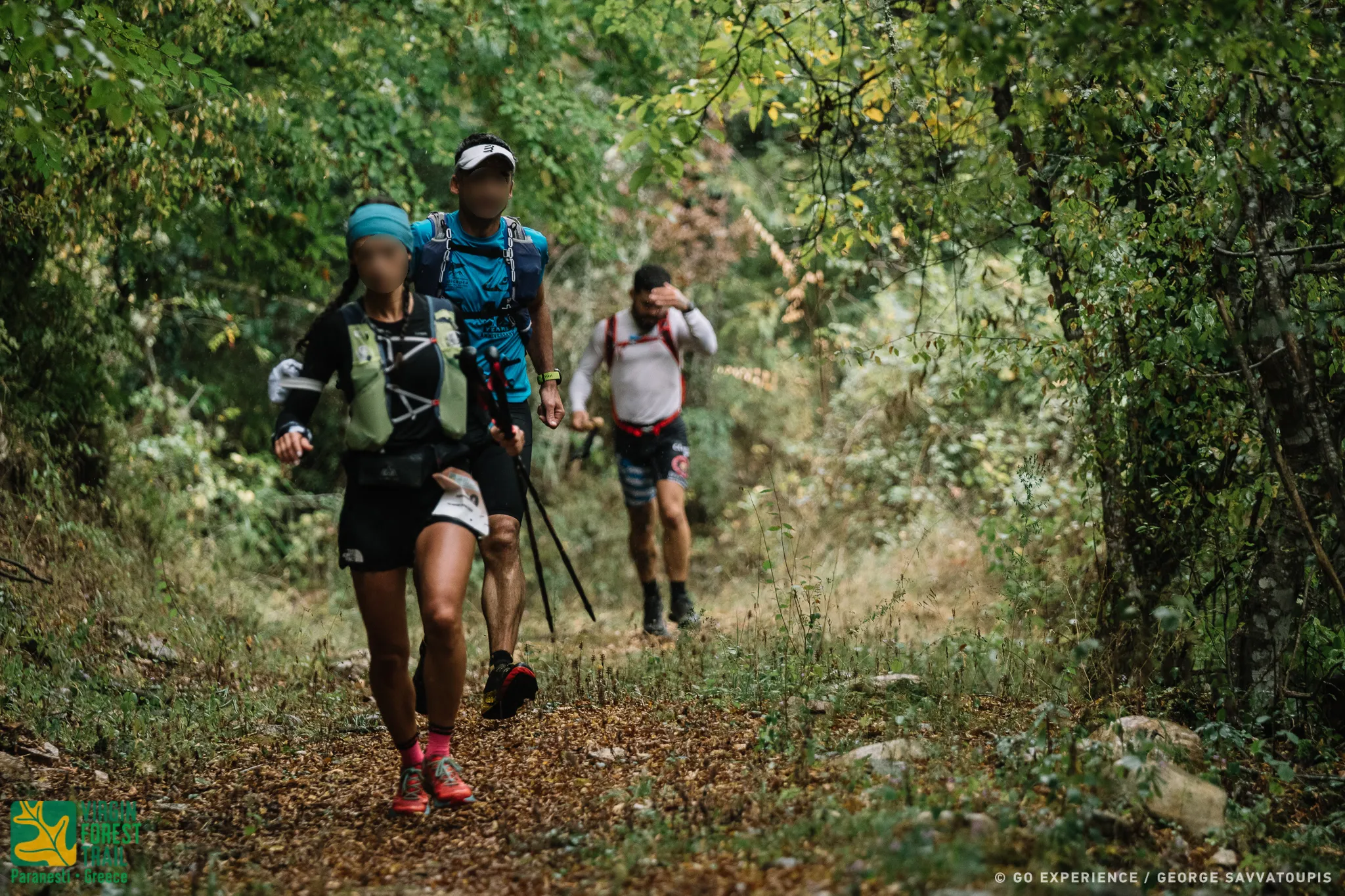
(12,908 m, 865+, 465-)
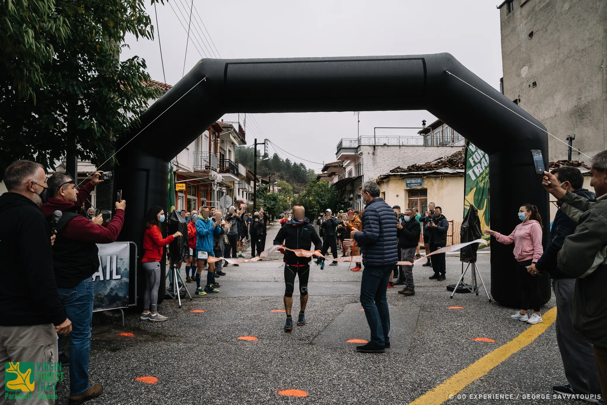
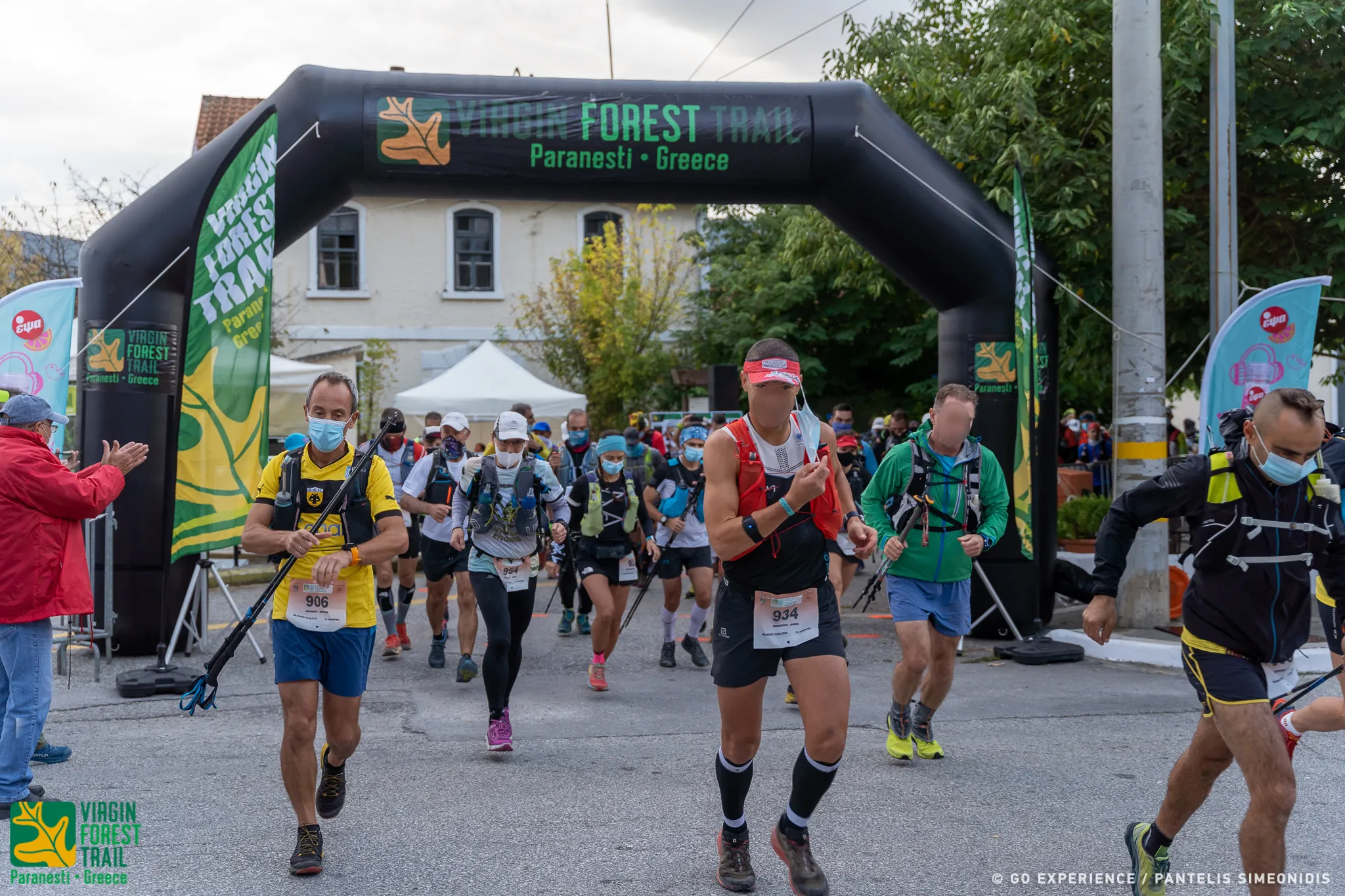
Start from the square of the Paranesti railway station. The beginning of the race route is shared with that of the NTR and Paranestio Path (P.P) races. The first 700 asphalt meters pass through Paranesti. Then the route meets the public road to Silli -- Prasinada and turns left. After 100 m on the main asphalt road, turn right, leaving the main road and reach the Nessos hotel. Turn left following the dirt road that climbs smoothly and after 1900 m turn left, following an old forest road uphill for 828 m that leads to a hill where a relay antenna is located.
To the right of the edge of the ridge, the village of Tholos with its old two-story half-demolished houses.
Turning left again, it enters a downhill path that follows the edge of the ridge for 1431 m until it descends steeply and meets the Silli-Prasinada public road.
It crosses the asphalt vertically, passing on the opposite side of the road. After 20 m it turns left going downhill, A few meters below you will meet the riverside path of the Arkudoremos of the return of the race. Turn right and in a few meters (312 m) following the riverside path we reach the facilities of the old construction site of Porcel, an old remnant of mining activity in the area. At this point is now the first Control Point and timing of the race.
From the Porcel Control Point the route goes for 205 through the deserted premises of the construction site and exits on the public road to Prasinada. It turns left following the public road for 358 m. At this point the route turns right and follows the uphill path for 1633 m.. The route climbs steeply at the beginning and reaching the top of the ridge enters a beautiful oak and beech forest, then descends to meet the riverbed through a very nice route of the Kryos river.
It crosses the stream, turns left and climbs for 228 m. At this point you will meet the well-marked old path to Vounoplaya. It turns right and follows the path which climbs smoothly at first and becomes difficult before reaching the top. It will pass through the ruins of an old military outpost and climb neck-high through beech and oak forest. The descent begins. It follows the downhill path straight for 450 m and meets the dirt road that descends towards Vounoplaya. It turns left and follows the downhill dirt road for 40 m. At 840 m on the left turn of the dirt road, the race route will turn right onto the path that descends towards the deserted village of Vounoplagia for 440 m. It reaches the recently renovated church of Vounoplagia where the First Supply Station is.
(6186m, 465m+, 215-)
From the renovated church of Vounoplagia, the route follows for 1220m, the old path that descends to Koiti tou Arkudorematos. Upon reaching the bed, it turns left and in about 200 meters it meets the Arkudorema. From this point begins the uphill climb to Silli. The route passes Arkudorema and turning right again meets the asphalt road to Prasinada. He follows him for 430m. turning left on a concrete road that leads to Hatziantoni farm. It passes through the farm, enters a path and in 400Om, meets a stream. He passes it by turning right, ascending through a forest of beech and hazel. Always following the picturesque old path, it reaches the village of Silli, where the second Refueling Station is.
Mountainside for 440 m. It reaches the recently renovated church of Vounoplagia where the First Supply Station is.
(8,010 m, 545+, 149-)
From the Filling Station of Silli, the route follows the concrete road for 126 m and at the watering hole it meets, it turns right and enters an uphill path. On the hill at 871 m it meets the ruins of an old settlement, which it crosses. Descending at 1670 m near a watering point, it meets an old military road. It turns left and follows it gently uphill through a picturesque beech forest for 1646 m.
At this point you will meet another forest road coming from Prasinada. The route turns left and follows the forest road at level for 477 m until the farm where the dirt road stops. The route now turns right in front of the farm fence where it meets an old forest road and generally downhill, with only a few minor ups and downs, it follows the old logging road. At the end of the downhill path, it crosses a small stream and meets the dirt road that leads to Oxia. At this point there is a Checkpoint.
Turn right following the forest road that goes uphill for Ligo. The route leads to a clearing and re-enters a wonderful beech forest. Turning right, it crosses a small bridge and ascends briefly to meet another forest road. At the intersection of dirt roads, turn left.
At each intersection there are direction indicators, route selectors: and several signs with the races of the event. In 76 m it meets a cormoplatia (plateau) and turns left. It descends and meets a small river that comes from higher up. It crosses it diagonally and follows the old logging road through a magnificent beech forest for another 2,162 m from the stream. There the logging road ends and the picturesque path begins that gently takes us up to the old military outpost of Pagalos at 673 m. There is also a third Fuel Station.
(8,537 m, 30+, 865-)
From the military outpost of [Pangalos, located in a wonderful clearing in a lush beech vegetation, the route turns left, leaving the dirt road. From here begins the long descent to Zarkadia. It turns left and in 450 m the forest road ends leading to a water source. From there begins the very downhill path that meanders continuously to reach 3,094 on the Zarkadia-Pefkis dirt road. Special attention is needed on the descent because it has a steep slope. The route follows the path for 386 m, parallel to the dirt road and at 3,420 m it exits the dirt road. It turns left following the downhill dirt road towards Zarkadia for 3,050 m.
At 6,470 Y it meets the old entrance to Oxia. There is a Checkpoint. It turns left, descending towards the single arched stone bridge. It follows a right scenic uphill path at the beginning and downhill at the end. Down on the right is the dirt road to Zarkadia. Very quickly, the route will approach the little stream and after crossing it will come out at the intersection with the public road that goes to Thermia - Frakto. It follows the downhill public road for 56 m and reaches the fourth Filling Station of Zarkadia. At this point there is the first time block at 16:00 on Friday.
(20,816m, 750y+ , 475p -)
A very long stretch of race track. From the Zarkadia Filling Station, the route follows the asphalt for 112 m, crosses the Diavoloremos bridge and immediately turns left, heading southwest, now running on a dirt forest road. In the first 600 m it passes through the farm of Poulukidis.
It follows for a few meters the downhill forest road which very quickly becomes a single track. It is now located on the right and next to the bank of the Diavoloremos, on the left and above the bed of the stream is the Paranesti - Thermion road, from where spectators can watch the match. The route goes up and down with small slopes, which at the high points create wonderful viewing positions (balconies). You can admire the bed of the Diavoloremos with its meanderings as well as the Platanovrosis Lake. At 4200 m it passes under the ruins of the abandoned village of Polygephyros and at 6022 m it reaches the lake kiosk at the Glossa location, a strip of land that enters the lake of Platanovrisi. This point is now a Checkpoint.
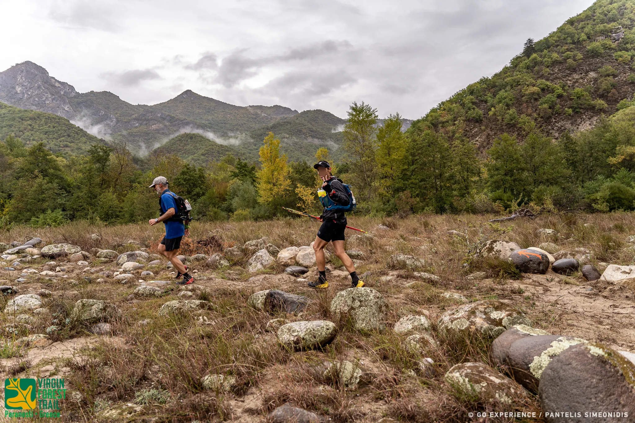
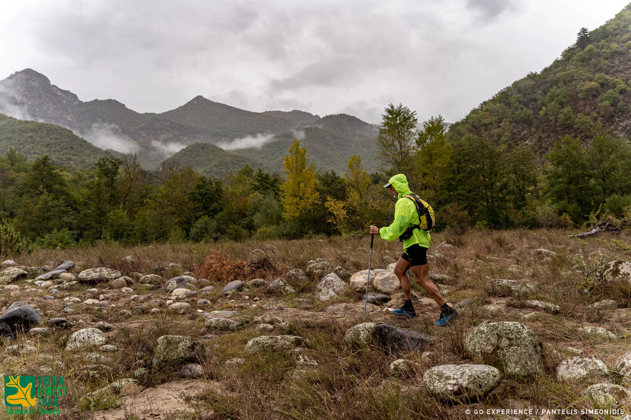
Next is a long isolated but beautiful part of the race route. From the pavilion of the lake of Platanovrisi, begins the forest path marked "S", which will be found along the entire length of this section of the route. Leaving the Lake Pavilion, it continues west and next to the lake. The route soon climbs steeply high (40 N) passing through a pass with a wonderful panoramic view of the lake and its inhabitants (legons, ducks, cormorants, mergansers), nesting in the dead branches of the trees protruding from the surface of the lake. Immediately afterwards, it descends again to the level of the lake, turning north and following the course of the Great Stream in the opposite direction. The route moves through a forest of oaks, beeches, hazelnuts and next to the remains of old livestock settlements.
You can admire the many single arched stone bridges, many of which you pass over. You will also definitely see the tracks of the forest dwellers (wild boars) with the characteristic diggings.
CAUTION! At 3,515 m from the SW of Platanovrisi, the route will meet the intersection of the path that goes to the right for MOMA. The race route continues straight downhill.
The route goes up and down with a general uphill slope. It moves along the greater part of the left side of the Great Stream and only towards the end it passes over the Great single-arched bridge leaving the MI. Stream on the right. (11,801 |) from the STEI of Platanovrisi, It is the part of the route with the many streams. You will pass the Cernaki stream which you will have on your left and the Stravorema. Dense beech vegetation and sweet uphills, the path will emerge in a clearing that joins the old forest road, which it follows to reach the fifth Alikioi Refueling Station a few meters away.
(4.219 µ, 570 µ+, 60 µ-)
Leaving the Alikioi Supply Station (Mantria), the route turns right, going down the path steeply, to the bed of the stream of Alikioi (mandria). We pass over the small single-arched bridge and the long arduous climb up to Andero begins.
The mosaic of vegetation is created mainly by anchovies, oaks and beeches. As the altitude increases, reaching Andero and after passing by the remains of a settlement, the first conifers begin to appear. The path ends on a dirt forest road where the long climb ends. There is the first Central Supply Station. that of Andros and the second elimination Time limit at 22:00 on Friday night.
(16,000 m, 385 m+, 210 m-)
From the Central Fueling Station of Andros, the route follows for 2,660 m the picturesque forest road, in a forest of conifers, to meet the main dirt road of Elatias - Fraktos. At the meeting point of these two roads (old STEK and Kormoplatia) the route turns left following the central forest dirt road Elatia - Fraktos for 1201 m. The route does not turn right but continues straight on the central forest dirt road.
With a downhill course of 4.5 kilometers through a dense fir forest, you will reach a concrete bridge where there is a small shrine. It is the old Yumourlou Station which is now a Checkpoint.
From the Jumourlou Checkpoint the route turns right, leaving the main forest road. It continues uphill on another secondary forest road, through a dense forest of towering firs, with many streams. By walking along the forest road and with small ups and downs, you will reach the main body of Haradra I4, where the Refueling Station is. There is the third block time limit at 01:00 on Saturday morning.
(16,241m, 866m+, 679m-)
From the STEK of Haradras 14 the route follows the forest road to the east and descends towards the junction of three streams. Point where there is an abandoned stable and a log house. From this point the route turns left, crossing the small stream, starting to climb up to the Greek-Bulgarian border, at "pyramid 148". To our left is Bulgaria and to our right is Greece. The route follows the border in a wonderful clearing and amazing meadow for about 200 meters. At this point the route does not turn right, towards the Zougri corral, but always moves along the border on the Greek side, climbing for 1200m to the 14/pyramid. It is the most extreme point of the Greek area and at the same time the most beautiful part of the route. Difficult and strenuous uphill. At this point the route and the border turn left.
We always move to the right on the part of the Greek side with a slight downhill course. A small climb and before reaching the height of pyramid 146, we turn right following an old military path which leads us to the most beautiful and well hidden area of Fraktos, above the Rema Fireplace. You are at the nearest point and across from the core of the Fence, the protected and restricted area. There will be Checkpoints along the route along the border. The route will begin to descend, through a wonderful fir forest, passing streams and a point that needs special attention due to a steep slope, - (There are safety ropes) - and reaches the small waterfall of Jaki Rema.
Following an old path and offering you landscapes of unique beauty for about two kilometers at level which circles the ravine of the Caki stream, it will begin to descend steeply, past a stream to the confluence with the Stenorema (Caki stream), where the route descends turning right . Wonderful landscape of unique beauty. The route now moves along an old forest road in the shade of towering fir trees accompanied by the characteristic sound of the waters of the stream flowing to our right. It passes through the intersection of the forest road that leads left to the core of Fraktos. It continues straight, Passes the old abandoned buildings of the forest construction site, turns right, passes over the concrete bridge of Jaki Rematos and climbs through the beautiful forest to the Fraktos bar. This iron bar is an indication that we are moving very close to the core of the Fence which is a restricted area and requires special permission to approach it.
Immediately after the iron bar we meet the forest road coming from the right from the central forest facilities. Turn right and in one Kilometer, following the forest road we will reach the Central Forestry Facilities of Fraktos. Here is the point with the fourth block time limit at 05:30 on Saturday morning.
(18,104 m, 258m+, 987m-)
A second long part of the race route. From the Site Fence Supply Station the route heads back for one kilometer following the forest road now in the opposite direction to the junction where there are signposts, a Check Point and a Forest Service kiosk. Turn right going downhill for about 100 meters and again turning left to enter a highly aesthetic downhill path, 2167 meters long. A few meters further down, it meets the Sympligades Petres on the right and a little later it reaches the viewpoint "Rock formations", from where you can admire the rock formations of the Fraktos on the opposite slopes. At the end of the path, it once again meets the Rema Fireplace, which passes over a wooden footbridge. Just after leaving the wooden bridge the route turns left following the path that moves uphill to the characteristic point of Sares (rocky falls). Then with a downhill course and after passing by the ruins of an old settlement, we will cross over crudely constructed wooden bridges, the stream of Lykolakas and Vagelina as well as the ruins of an old settlement, we will go out on the central forest road that will lead us to the Achladorematos Control Point at the picnic spot, with the stream of the same name on our right. the route moves with small ups and downs, in a general downward slope, crossing small streams at the beginning, always having the Achladorema on the right.
It leaves behind the fir trees and as it descends they give way to a wonderful beech forest. Before the last 5 kilometers it turns right, it will pass over a traditional stone bridge, right next to the confluence of the Achladorematos and the Farasino Rema. It is the IGME site, a name given because of old IGME activities at that particular point. Immediately after the bridge you will turn left with the stream, which from this point on is called Farasino, on the left. It descends moving along a well-maintained forest path, emerges into a clearing crossing a small stream, turns left and follows an old forest road. It passes by an old building (military outpost), a little further down, over a small bridge and reaches a plateau. A few meters further down is the iconostasis of Agios Zacharias and the Farasinos Supply Station.
(16,789m, 735m+, 995m-)
Immediately after the Fuel Station the route leaves the forest road, turns left passing over the single-arched stone bridge of Farasinos Remata and immediately turns right. It continues with the Farasino Rema on the right, through dense hazel vegetation. At the confluence of the Farasino Stream with the stream coming down from Gaikouli, it turns left going up and following the stream. At the beginning it has the stream on the right, passing through a forest of beech and anchovies. Further up it will cross the bed of the stream in two places, following a narrow winding path, through a forest of firs now, while the ascent makes our effort arduous. After exiting an old forest road, you will soon find yourself in a log cabin at the Kaikouli location. From this point, a long descent begins. The route moves along an abandoned forest road, which in many places has narrowed, we will observe the natural regeneration of the forest and it will cross several streams.
In the last 1500 meters it will cross two streams and begin the ascent to Pefki, today's Control Point. From Pefki, the route starts for Zarkadia going down the big slope to the fields of the abandoned settlement "Trigono" or "Pe Han" the ruins of which are a little higher up hidden by the hazel trees and plum trees. Going down we will pass through two points in from the stream that comes from Kaikouli, After the second passage the well-maintained path will go up, which in some places forms "outcrops" (balconies) with a wonderful view. From these points you will hear the noise of the flow of the waters of Diavoloremos, and the lights of the Zarkadia Fuel Station that we passed much earlier. Here is the second Central Supply Station with the fifth block time limit of 14:30 on Saturday.
reaches a plateau. A few meters further down is the iconostasis of Agios Zacharias and the Farasinos Supply Station.
(12,758 m 1,075 m- 470 m-)
From the Refueling Station of Zarkadia begins the long, strenuous climb up to the neck of Oksia. CAUTION! Stock up on water because there is a big uphill climb and the next Greenery Supply Station is late. Having traveled 567 meters, leave the asphalt and turn left onto the dirt road to Pefki. CAUTION! It does not follow the uphill dirt road to Pefki. Immediately after entering the dirt road, the route turns right onto the same path from which it came before when descending from the Pefki dirt road. It crosses the small river and climbs the slope to descend again next to the stone bridge from where it entered during the descent from Pefki, following a reverse course.
From the stone bridge it continues straight, on the beautiful path next to the river. Then, after crossing two small streams, it turns right and steadily follows the path that begins to climb with increasingly steep gradients. In the next {95 meters, it climbs 200 meters of positive altitude difference (altitude 665 meters) to find itself on the first terrace of the area.
Panoramic view, to enjoy the surrounding area. The route turns right and follows the well-maintained path. After 370 meters it reaches the first neck at an altitude of 705 meters.
But 632 meters and it reaches the second neck at an altitude of 95 meters. Hang on, the biggest climb is now over. Breathing and turning left, it travels the next 660 meters on a smaller slope, crosses a stream and reaches the first ruins of the old settlement of Oksia (altitude 825 meters). About another 100 meters and you meet one of the old taps of the settlement.
It will pass by the old aqueduct of the settlement at an altitude of 865 meters and follows the path that meanders through a beech forest after 780m you will find yourself in the neck of the Beech at an altitude of 955m. From the neck of Beech, the route continues straight, comes out in a wonderful clearing and descends for 608 m in an amazing beech forest, meets a stream. It crosses the stream, turning right and going uphill for 300 m and after passing by an old fountain where water may have stagnated, it comes out into a clearing. CAUTION: At this point. The NTR route continues straight to Silli. It is also the point where the route of the RR race meets, which comes from the right and joins that of the NTR. The VFUT route turns left, now following in the opposite direction the route of PP, leaving that of NTR.
It climbs at the beginning in a beech forest to descend again and after traveling 888 m it meets a stream, crosses it and exits on the dirt road that goes to Oxia. Turn right, follow the dirt road for 100 m and meet the original route, coming from Silli, now in the opposite direction, where there was a Check Point.
Turn right, following the original route coming from Silli in the opposite direction. Small downhill, crosses the stream again and begins a steep short uphill. Then following the logging road and with small hills we reach a farm. Turn left and follow the level dirt road for 477 m and again meet the junction of Silli coming from the right. Checkpoint. It now continues straight along the dirt road and comes to a crossroads. Turn right following the downhill dirt road for a few meters and turning right on the second dirt road enters the downhill path that leads us to the monastery of Sotiros in Prasinada. Wonderful view. Shortly before reaching the monastery, it passes an old aqueduct, turns right and in a few meters meets the asphalt. Opposite the monastery. From the monastery turn right and go down the asphalt that leads to the village of Prasinada. Here is the Prasinada Fuel Station with the sixth cutoff time of 19:00 on Saturday.
(4.594µ, 260µ+, 150µ-)
From Prasinada, the route enters a path that goes uphill, passes by farmhouses and meets a dirt road that goes uphill. In a few meters it turns left, leaving the dirt road and entering the old path that leads to Sili, near the point where the water supply of the village passes. The route goes up and down. You are in a forest of beech and hazel, Just before the end you will meet the common route that comes from Chile.
At the highest point of the path, the route passes through the ruins of the old settlement of Sili, In a few meters the path descends and meets a watering hole. It turns left and in a few meters you are at the Sili Fuel Station.
(17,674 m, 160m+, 705m-)
From the Silli Refueling Station, the race route follows exactly the same route as the ascent to Silli from Vounoplagia to the Arkudoremato footbridge, going downhill, returning to Paranesti. As soon as he crosses the footbridge of Arkoudorema, he turns right and follows the old scenic path and the old route of the event, until the exit of the path at the military bridge of Arkoudorema, on the asphalt of the public road Paranesti - Parasinada. It continues straight, follows the public road to Paranesti, passes in front of the abandoned military outpost and at 485 m turns right to follow a dirt road downhill for a few meters and then enters the riverside path of Arkudoremos of special aesthetics. He follows the riverside path with a little care in some passages and in 1367 m he reaches the Porcel Checkpoint.
From the Porcel Checkpoint, the route continues along the river and at 1450 m it comes out on a downhill dirt road that leads to the village of Xagnados, which it follows for about 2 kilometers. At this point it rejoins the path, leaving Xagnanto on the left. The route goes alongside the river Nestos for 2205 m and is magnificent. At this point the route turns left, leaves Nestos behind and climbs for 64 m (last uphill), passes a viewing kiosk and exits on the public road Xagnantos - Paranestiou. Turn right, follow the public downhill road to Paranesti and in 1350 m it ends at the same point where it started, in the square of the Paranesti Railway Station. There you will finish, full of satisfaction and joy at the achievement of your goal and the end of your adventure. You are UNIQUE and WINNERS.